Hiking in the Twenty Lakes Basin part 2
The Twenty Lakes Basin area has fabulous scenery and is located just east of Yosemite National Park. This hike was one on a Sierra Club trip and this post picks up where the Hiking in the Twenty Lakes Basin part 1 post left off.
After the lunch break we continued on to the next lake, Helen Lake, which was named in 1932 by the logger and miner Al Gardisky for a lady friend. Up to this point the trail was mostly moderate uphill but now trail headed down a rocky chute to Helen Lake.

This is one of the places on this hike were those that had trekking poles found them useful.

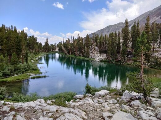
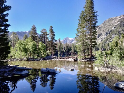
These are two views across Helen Lake after we made it down to the lake.


This is the view to the left of the previous two pictures with North Peak in the distance.

The water from Helen Lake flows down the Lundy Canyon to Lundy Lake.

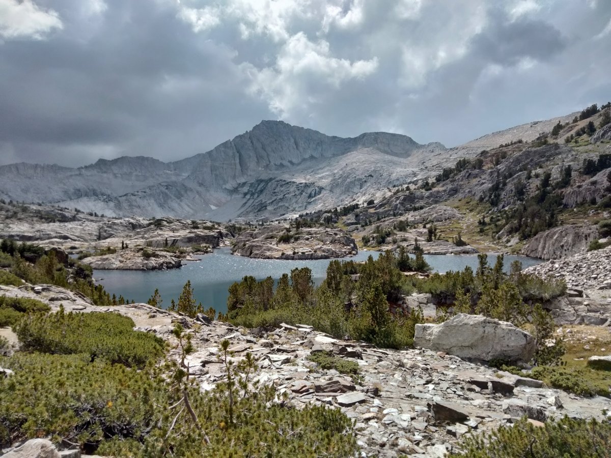
The view from the opposite side of Helen Lake shows the cute we hiked down to the lake which is the lower notch on the left.

The trail to the next lake is uphill again with a couple of steeper places. I took a look back and saw Ludy Canyon with other mountains in the far distance. The bodies of water in the foreground are not named.

Shamrock Lake was likely given its name because it possesses three lobes like a shamrock. Pine trees grow on the granite ledges and rocky meadows near the lake.

A view from a little different angle caught an interesting reflection of the clouds and sky in the water of Shamrock Lake.

Between Shamrock Lake and the next lake is the smaller Excelsior Lake.

There was a short hike down to Steelhead Lake which was named by Al Gardisky in 1932 and refers to the steelhead trout he planted in the lake.

One end of Steelhead Lake with North Peak behind.

North Peak partly framed between trees.

Another small lake with Mount Dana in the distance.

One of our party taking a little time to enjoy the tranquility of Steelhead Lake before continuing on.

Next up was Wasco Lake which was named by Al Gardisky in 1932 after the town a close friend of his lived in.

In the foreground are two lobes of Greenstone Lake with Saddlebag Lake in the distance. Both of these lakes were ones we passed by in the part one post.

More of Greenstone Lake.

This is where we crossed over to hike back on the opposite side of Saddlebag Lake from what we hiked up (red rock side).

A look back shows some foreboding clouds.

Finally we get to where we can see the Saddlebag Lake dam on the far right of the lake and our starting point to the left of the dam.

This hike was the longest of the four hikes on this Sierra Club trip but we saw a variety of lakes, mountains and other scenery so was well worth it. If you have not already looked at the Hiking in the Twenty Lakes Basin part 1 post, it has more details on some of the things mentioned in this post. It also has the more information links and the hike location map.
The A Three Lake Hike in John Muir Wilderness and Sherwin Lakes Hikes posts cover two of the other hikes on this Sierra Club trip.