Hiking in the Twenty Lakes Basin part 1
The Twenty Lakes Basin is an area with beautiful lakes and differently colored mountains. The basin is near the eastern entrance of Yosemite so has similar High Sierra views that can be found in the National Park. We did a hike that visited a number of the lakes with their mountain backdrops.
The hike started at Saddlebag Lake which had a low water level due to the recent drought years. This is a view from the parking area. The building is owned by the Tioga Pass Resort and used to rent boats and provide water taxi runs to the other end of the lake but has been closed since the 2021 season ended. Saddlebag Lake was most likely named for its shape since it has two partly rounded ends with a narrowing middle. One can hike along either side of the lake but we chose to go on the left side (clockwise direction).

As we were leaving the parking area I caught this spectacular view in the opposite direction of mountains and clouds.

After we crossed the dam I looked back and saw just how low the water level is. The mountain in the distance is Mount Dana which is the second highest peak in Yosemite.

The trail on this side of the lake is a little rockier but the distance is slightly less. This hike was one of four on a Sierra Club trip the and hikers are some from the three groups people were split into.

The mountain in the center is North Peak which is 12,242 feet. The eastern boundary of Yosemite National Park is along the ridge crest of these mountains.

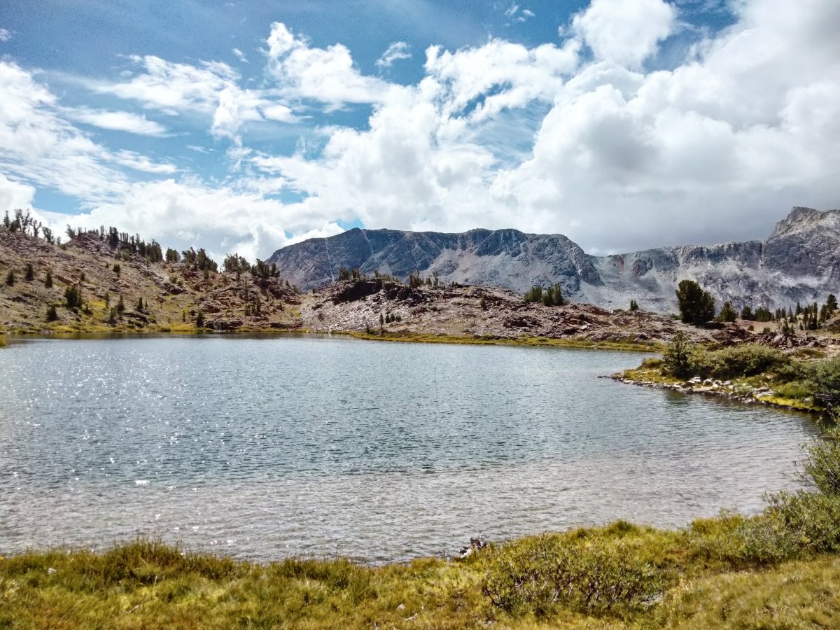
Looking back the way we came for view of this end of Saddlebag Lake.

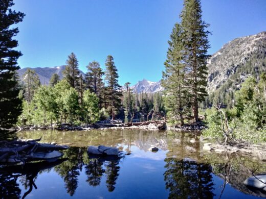
These pictures are two parts of Greenstone Lake one with North Peak towering over the lake.


Again looking back with the end of Greenstone Lake in the foreground.

Another view of the rugged mountains with clouds above.

Rather than doing an oval loop we did a figure eight and this is where we crossed to the right side then proceeded counterclockwise up the valley.

We came across this little tarn with mountains in the background.

A little farther saw part of the next lake which is Hummingbird Lake that was named in 1932 by Al Gardisky because at one time he saw many hummingbirds there. Al Gardisky was born in 1880 and was a logger and miner. Starting in 1914 he built some cabins east of Tioga Pass and added a store in 1920 calling it Camp Tioga. Today those facilities are part of the Tioga Pass Resort.

From this viewpoint most of Hummingbird Lake can be seen.

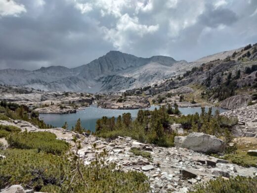
The trail leads on to Odell Lake that was named for a friend of Al’s.

As we get closer there is a better view of the lake.

A view from the other end of Odell Lake.

At this point we stopped for a lunch break with a view of the upcoming mountains.

This is also a good place to end this post which is continued in the Hiking in the Twenty Lakes Basin part 2 post.
The A Three Lake Hike in John Muir Wilderness and Sherwin Lakes Hikes posts cover two of the other hikes on this Sierra Club trip.
More Information:
USDA Forest Service information on Saddlebag Lake
Information on some lake name origins of Twenty Lakes Basin
I previously hiked in this area in 2014 which is covered in the Saddlebag and Greenstone Lakes post.
A blog post by someone who did our route but in a more normal loop: