Hike From Agnew Meadows to Shadow Lake
The third hike from this series of four posts on the 2023 Sierra Club trip took place in a different area of the Sierra Nevada mountains from the first two. This hike was near the town of Mammoth Lakes, California and during the hike we saw alpine meadows, swiftly flowing streams, interesting mountains and a beautiful lake at our destination.
The hike starts in Agnew Meadows which is located in Reds Meadow Valley. To limit traffic in this valley during the summer most people need to park at the Mammoth Mountain Ski Area and take the shuttle bus. We did this and then it is 0.4 miles from the bus stop to the trailhead which is at an elevation of 8,300 feet. Agnew Meadow’s name from Theodore Agnew who was a miner that settled there in 1877.

A short distance after leaving this meadow we enter the Ansel Adams Wilderness. The wilderness was established as part of the Wilderness Act in 1964 and originally named the Minarets Wilderness. In 1984 the area was expanded and renamed in memory of Ansel Adams, the famous photographer and environmentalist.

The trail goes along a ridge above the Middle Fork San Joaquin River.

As we continue the trees become less, and more scattered.

After a bit of hiking there is a view of a mountain called Two Teats. The mountain has another high point which is behind and is not seen from this viewpoint. However it does not have the same rock formation so the mountain does not quite match its namesake.

Looking back the way we came there is a nice view of Mammoth Mountain. Its summit has cell towers so one should have coverage any time the mountain is in view. There are also ski lifts on the mountain’s slopes.

Around this point the trail starts to climb more steeply with more views of Two Teats. Now San Joaquin Mountain can also be seen which is the rounded dome to the left. It has an altitude of 10,242 feet. The boundary between the Ansel Adams Wilderness and the Owens River Headwaters Wilderness runs along this ridge.

Another view of Mammoth Mountain with some wildflowers in the foreground.

The stream cascading down the mountain is the outflow of our destination lake. Since precipitation over the preceding winter and spring was heavy there was a lot of water coming down even in late August when we were there.

After the trail climbs some more we take one last look back before going over the ridge to the lake.

We pass by a pretty patch of purple wildflowers.

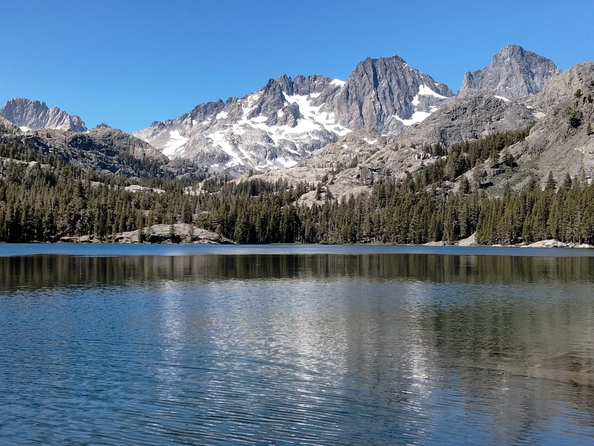
Finally we reach our destination, Shadow Lake, which is at an altitude of 8,733 feet.

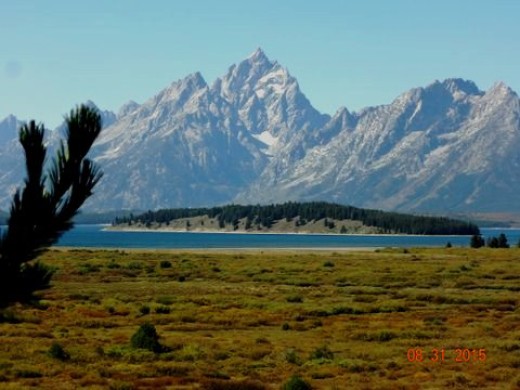
Looking west the two mountains on the right are Mount Ritter (13,149 feet) and Banner Peak (12,945 feet).

This is a closer view of the mountains to the south.

The water was shallow enough in this part of the lake to allow this angler to walk a short distance from shore. Some fish that might be found in Shadow Lake include Brook Trout and Rainbow Trout.

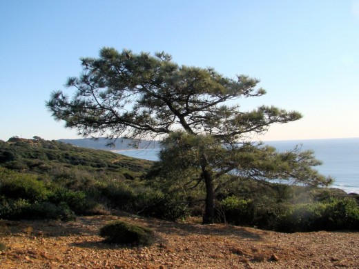
Mount Ritter framed by a tree.

After having lunch we head back the way we came.

This is the ski area where the shuttle bus picked us up and dropped us off. We had a little time to check out what goes on at the ski area in summer before a bus came to take us back to our hotel . Things include a gondola ride to the top of Mammoth Mountain. There are several places to grab a bit to eat and an outdoor oriented shop. For the young or young at heart there is the Adventure Center which has things like a rock climbing wall, short zip line, bungee trampoline and mountain biking.

One of our group tried the zip line and had lots of fun.


Another great hike where we got to see more of the Eastern Sierra Nevada mountains with their interesting terrain and beautiful scenery.
Be sure to check out the Agnew Meadows to Shadow Lake gallery for this post as the galleries usually contain pictures not in the post.
Blog posts on other hikes on this trip
More Information:
Forest Service information for Shadow Creek Trail
Mammoth Lakes Trail System information for Shadow Creek Trail
Ansel Adams Wilderness Wikipedia article
A climber’s trip report which has pictures of both rock formations of Two Teats