Hike to Rainbow Falls and Lower Falls
I have been on quite a few trips to the Mammoth Lakes, California area which is on the Eastern side of the Sierra Nevada mountains. For this trip I hiked to two water falls in early September 2025. While falls in many areas of California do not have a lot of water this time of year both of these falls had sufficient water to make for spectacular viewing.
To get to the trail we took the shuttle bus from the Mammoth Mountain Ski Area to the valley where the trail is located. We got off at the Devils Postpile Ranger Station bus stop where we saw a little of the early fall color.

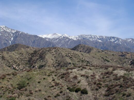
A week before we did this hike the Garnet Fire started which became a huge fire. While it was on the other side of the Sierra Nevada mountains the smoke slowly made its way toward Mammoth Lakes. For this hike these was just a small amount of haze from the smoke which is seen in the hills.

This is the Middle Fork of the Joaquin River which supplies the water for both the falls on this hike.

We pass by the Devils Postpile which is a rock formation of columnar basalt. Since there is quite a bit to the story of the Devils Postpile I will cover it in a future post.

We went a very short distance off our trail on the Pacific Crest/John Muir trails to check out an interesting bridge.

It spans the Joaquin River.

The view from the bridge upstream.

And downstream.

We also found a place downstream to see the bridge across the river.

Continuing on our trail we came to the top of Rainbow Falls where the water flows down over the rocks. From this view one does not get a much of an idea of how tall the falls are.

A little further there is a through the trees sight of Rainbow Falls.

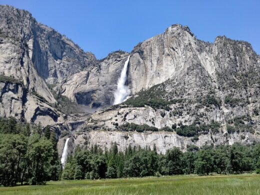
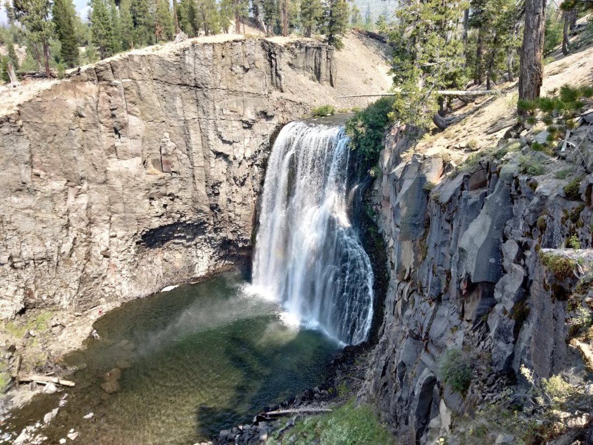
We finally get the full vista of all the 101 feet of the falls. The volcanic rock in the falls area has two layers which are the same lava which cooled at different rates. The top layer is harder rock which resists erosion. Below is softer rock which is undercut by the water from the falls causing the harder rock to cave in and break apart. These become the the rock debris in the pool below the falls.

There are stairs down the the pool area but we did not take the time to visit it.

The viewing area has a person sitting on the wall gives an idea of the size of the falls.

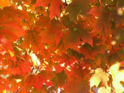
Our trail continues on to the Lower Falls where we come to a little more fall color.

The ferns were very bright yellow in the sun.

This is near the top of the Lower Falls.

This time we did go to the bottom of the falls as there is not much of a view of the falls otherwise. However there is no official trail and it is a bit of a scramble to get down and back up. If you look closely there are people standing along the top of the rock ridge to the right of the falls.

A closer look at the Lower Falls.

The falls seen from the side of the pool below the falls.

Climbing back to the top of the falls there was a view of the valley.

We returned the same way we came. Much of the area seen between the trees in the foreground and Mammoth Mountain in the background was burned in the 1992 Rainbow Fire. It is starting to recover with small trees and other plants.

When we got back to the bus stop there was this pretty scene in the late afternoon.

I previously did this hike in 2009 but only going to Rainbow Falls. These are a few pictures from that hike. The Middle Fork of the Joaquin River without any of the smoke haze.

Near the top of Rainbow Falls which is just behind the trees.

Rainbow Falls with people by the pool wearing bright clothing which better shows the scale of the falls. There is also a hint of a rainbow toward the foreground end of the pool.

I will end this post with a comparison of Rainbow Falls in 2009 and 2025. They were cropped to make them as much of the same view and size as possible. While the 2009 picture has more water and less haze, there are also small changes in the terrain if the pictures are examined closely.


This was an enjoyable hike to see two waterfalls both of which were memorable. The route we took was about 6.4 miles round trip. For those looking for a shorter route to visit both falls can do an out and back from the Rainbow Falls bus stop which makes for a total hike of about 4 miles.
For more pictures from these hikes see the Rainbow and Lower Falls Gallery.
More Information:
Rainbow Falls Wikipedia article
Information on Rainbow Falls at Devils Postpile National Monument by National Parks Service
Allmammoth website details on visiting Rainbow Falls