Pierre Part in Cajun Country Louisiana
My travels in recent job assignments sometimes took me to Pierre Part, Louisiana. This small Cajun fishing community is about 60 miles from Baton Rouge. It is close to the swamp of the Achalafaya basin and surrounding area. The area is calm, peaceful and serene. When you reach Pierre Part, you get to the end of the road at the huge Afachalaya swamp. Folks from around the area say that once you move here, you never leave. To get there you drive south and then west, crossing the Mississippi at the large, looming Sunshine Bridge.
 - Copy")
The Sunshine Bridge is a cantilever bridge which crosses the Mississippi River in St. James Parish, Louisiana. It was completed in 1963 and at that time there was a $.50 toll to cross the bridge going westward. The bridge carries highway LA 70 which connects Donaldsonville on the west bank of Ascension Parish with Sorrento on the east bank of Ascension Parish as well as with Gonzales on the east bank of Ascension Parish.
It was proposed that the bridge be named after popular and long-term Louisiana Governor James Davis. He, however, requested that the bridge be named after the song he is credited with making popular, “You Are My Sunshine,” and hence the name Sunshine Bridge.
This is sugar cane country with miles and miles of sugar cane fields.
 - Copy")
I’ve watched the sugar cane grow. In March the fields were empty; now the cane is as tall as I am. The cane is planted in straight rows. When harvested in September and October it will grow to be twice as tall.
")
Shortly before getting to the Sunshine Bridge is the town of Sorrento, Louisiana. You can visit a restored Cajun Village of homes, cabins and gift shops. This is a typical Cajun home, elevated with a large porch. Usually the homes contain high ceilings and a central hallway that goes through the entire house. Easy to keep cool in the summertime.
 - Copy")
This was the week after the Fourth of July, the homes were decked in patriotic decorations.
 - Copy")
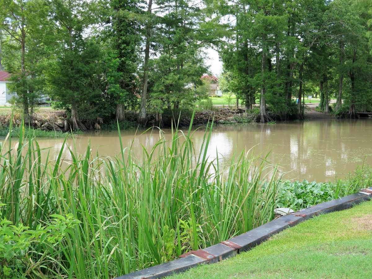
Once over the bridge, the road eventually narrows to a two-lane road with marsh and swamp on either side. There were very few places to pull over for photos. Here’s one spot.
")
Lots of alligators (I didn’t see any), fish and large birds. This one glided overhead waiting for prey.
")
A closer image.
")
A beautiful lazy bayou flowed by with homes on each side. The client didn’t know the name of the bayou, just said that the small bayou flowed into a large bayou which flowed into Lake Verret.
")
In Pierre Part, a large bayou runs through town, with a drawbridge crossing.
")
Houseboats lined the bayou. Most were in better repair than this one.
")
A crawfish boat is suspended.
")
And getting a boat out of the water.
")
Beautiful clouds.
")
The Rainbow Inn is along the bayou. It looks like an old abandoned store, I’m sure it has an interesting history.
")
On the way home, I stopped at Bayou Corne to take some photos. This Bayou is famous (at least locally) because it is part of a large sinkhole. Underground salt domes in southern Louisiana are used for the storage of oil. In 2012, a salt dome cavern close to Bayou Corne collapsed turned it into a huge sinkhole which literally sucked all the water into it. Large cypress trees simply vanished into the sinkhole. The sinkhole grew to be 26 acres and 350 residents were evacuated. The evacuation order could last for years.
")
This bayou also has houseboats along either side, as well as permanent houses, fishing piers and docks.
")
Boat docks.
")
And on the way home, more sugar cane fields.
")
An so, this was my morning trip to Pierre Part. Not very leisurely as I was in a hurry, but I hope I captured some of the scenery and beautiful, billowy clouds.