Visits to the Bogart Regional Park part 2
This blog post continues my visits to Bogart Regional Park which is located in the San Gorgonio Pass near the town of Cherry Valley, California. This is the third area of the park covered in the two posts where I did a hike in the hills which had grand views of the surrounding mountains and valleys.
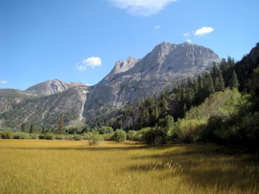
The hike begins at the Meadows Parking lot in Bogart Regional Park which was the same place as in the second area in the part 1 post. However this time I started on the Ridge Trail which goes up the hill from the parking lot. On a previous visit I stopped at about this point where a little of the snow covered San Bernardino Mountains can be seen. I thought there would be a better view at the top of the hill so I returned a few weeks later.

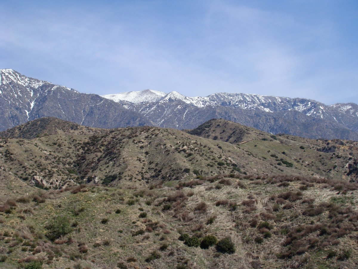
When I got to the top of the hill there was, with a little telephoto zoom, this view. The completely snow covered peaks in the center are on San Gorgonio Mountain which is the highest point in Southern California at 11,499 feet. However most of the San Gorgonio Mountain is hidden behind the grey mountains with little snow in front.

I had planned on turning around here but the trail went on to what looked like an even better view so I continued.

Along the way there were views to the east of the snow covered San Gabriel Mountains.

To the south were views of the towns of Banning on the left and Beaumont on the right.

There were views of Cherry Valley Peak and the distant San Gabriel Mountains to the east.

At the top of the second hill the trail continued north on to a third hill so I continued on.

This time along the way there were views of the San Jacinto Mountains to the east.

On the third hill this is a view to the south of the trail I took. All three hills had some short steep sections near their tops. I had my hiking polls and used them on these stretches.

Looking north there was yet another hill but this time it was a much longer distance away and there were no trails directly to it.

The trail ended but there was a road on which I went east with this view of the valley to south.

I stopped where the road started to go down hill where it presumably met up with the distant road.

I went west along the road which according to the map would connect with the road I was on in the first area hike.

Looking back at a view of the San Jacinto Mountains where there is someone on the hill just to the right of the road enjoying the view I had a short time ago. If you are on a phone you might need to zoom in to seem them. If you are on a computer click on the picture to see a larger picture.

The mountain in the center of the picture is Pisgah Peak.

The road was all downhill now and after a bit I looked back at the way I had come.

The another look at Cherry Valley Peak to the east.

One last look at the San Bernardino Mountains to the north. It was not far back to the road I walked on in the first area hike and then it was back to where my car parked completing a loop hike.

While the hike was longer and more strenuous then I planned I did enjoy the views from different vantage points along the way. Those that have read the previous blog post know there are good mountain views in the park with just short hikes as well as other activities for people of all ages to do. If you have not read it check out Visits to the Bogart Regional Park part 1.
Pictures in this post and more can be found in the Bogart Park Visits gallery.
More Information:
Beaumont-Cherry Valley Recreation and Park District information on Bogart Park
For the map see the part 1 blog post.