Hiking Around Panum Crater
The Mono–Inyo Craters form a 25 mile line of volcanism extending from the Mono Lake area to Mammoth Mountain in California. Near Mono Lake is Panum Crater which is one of the more prominent volcanic cones and also is the youngest crater of the chain having been formed around 650 years ago. There is a trail that goes around Panum Crater which gives both a 360 degree view of the crater’s dome and good views of the mountains, Mono Lake, and the other terrain in the area. Our group decided to check it out on our July 2024 trip to the Mammoth Lakes area.
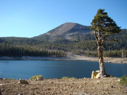
Just a short distance from the trailhead there were good views of the Eastern Sierra Mountains. One of the valleys contains the Tioga Pass road going into Yosemite.

We also got our first view of the inside of Panum Crater. It helps to make more sense of what we saw with a brief explanation of how it was formed. Panum began with extremely hot liquid rock rising up from deep within the Earth. When this magma contacted water near the surface it superheated resulting in a violent explosion with pumice ash shooting into the sky and falling down. More of these eruptions formed a pumice ring around the vent. Over time the lava that continued coming up hardened forming a dome in the center of the crater. This panorama shows part of the pumice ring as well as the plug dome.

This zoom view between the rim and plug shows a little of Mono Lake and the mountains beyond.

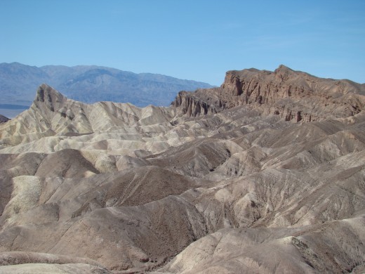
The hills are more of the Mono Craters which make up most of the northern 10 miles of the Mono–Inyo chain.

The only flowering plants we saw along the hike was this colorful shrub. On my phone when I switch from taking panoramas the phone often goes to portrait mode and I sometimes forget to change it to photo mode. This causes the edges of pictures to be blurred which is the case with the closeup but I think this gives it an interesting effect.


A little further along looking back at the rim and the mountains beyond.

We hiked counterclockwise around the rim and now can see more of Mono Lake. It is also a good time for our group to take a water break.

Continuing on another view of the pumice ring which is made up of small bits of pumice, ash, obsidian fragments, and granitic pebbles.

Looking back for another view of the Mono Craters many of which were also phreatic (steam explosion) volcanoes. Some were plugged and others were topped by lava flows.

In the lower right of Mono Lake there are the South Tufa towers.

A closer view of the South Tufa towers which are formed when subsurface waters enter the bottom of Mono Lake through small springs and mix with the carbonates in the water. These react to one another to form calcium carbonate. This limestone precipitates around the spring and over time forms a tower of tufa.

The low plateau area to the right indicates where Mono Lake might have once filled. In 1941, the City of Los Angeles began diverting streams that feed Mono Lake. The diversion of those streams caused Mono Lake to drop more than 40 feet by 1990. In 1994 the California State Water Resources Control Board issued an order to protect Mono Lake and its tributary streams which will ultimately raise the lake level by 17 feet over the next 15-25 years.

This look back shows the Mono Craters and the pumice ring we traveled.

At this point along the rim trail we were able to see just about all of Mono Lake.

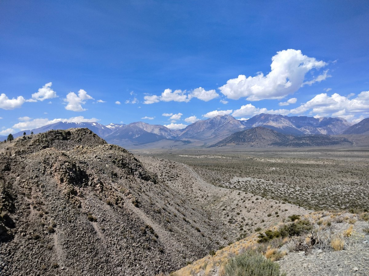
We are now a little past half way on our journey around Panum Crater and see more of of the Eastern Sierra Mountains.

Another view between the pumice ring and plug dome. Panum is an Indian word meaning lake and the crater was given its name by I. C. Russel who was a geologist whose report on the Mono Basin was published in 1889.

In Mono Lake is Paoha Island which was formed less than 300 years ago.

More of of the Eastern Sierra Mountains can be seen in this panorama view.

We are finally getting close to where we started going around the pumice ring.

A panorama view of most of the plug dome.

The trail switchbacking up the hill goes to the top of the plug dome but our group did not hike it on this trip.

One more look back. The volcanoes in this area are considered to be just dormant so might produce more eruptions in the future. The California Volcano Observatory of the US Geological Survey is tasked with monitoring for any signs of precursory indicators of volcanic activity.

During our hike we saw lots of interesting things as well as beautiful scenery. Before returning to our lodging at Mammoth Lakes we stopped at the Mono Basin National Forest Scenic Area Visitor Center for another view of the Mono Lake.

More pictures can be found in the Hiking Around Panum Crater gallery.
The other two posts covering this 2024 Mammoth Lakes trip are:
More Information: