Whittier Narrows and Los Angeles Aqueduct Hikes
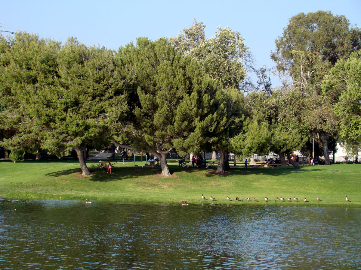
When thinking of Los Angeles, California, probably not at the top of the things that come to mind is hiking. However dotted throughout Los Angeles and the cities that surround it are areas in which one can go hiking. One weekend several years ago we decided to check out two of them. Both hikes were relatively short but differed greatly in the things we saw.
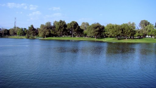
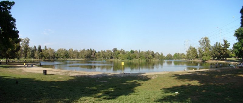
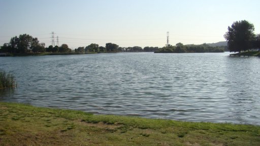
One of the areas was the Whittier Narrows Recreation Area which is about 15 miles east of downtown Los Angeles. For this visit we opted to do a lakeside hike. The recreation area contains three lakes: the North Lake, Center Lake, and Legg Lake.
There are paths surrounding each lake making for a variety of different loops one can do. As we walked we saw people picnicking, throwing frisbees in grassy areas, and watching birds.
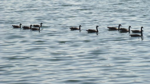
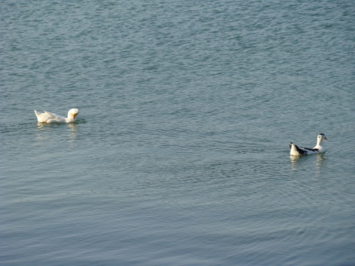
We saw ducks swimming in the lakes.
Walking along the lake.
And just relaxing.
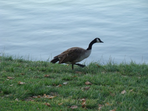
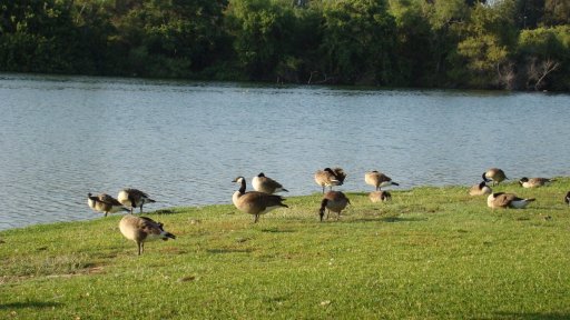
There were also other varieties.
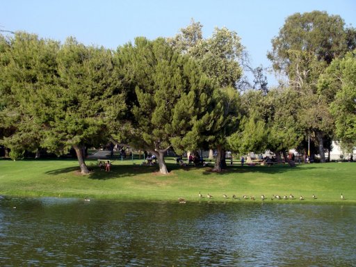
Trees provide shade for people while the birds seem to be fine in the sun.
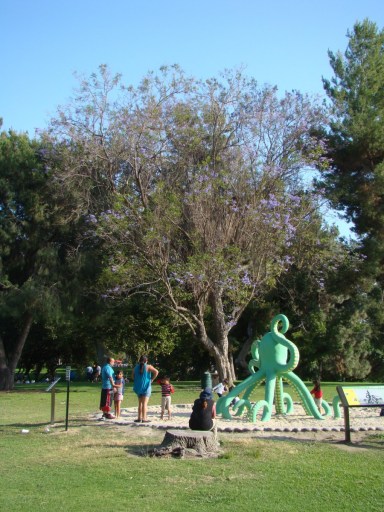
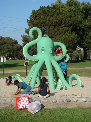
This playground for kids had an interesting structure.
Whittier Narrows is located at a gap in the mountains that make up the southern edge of the San Gabriel Valley. The Rio Hondo and San Gabriel Rivers flow through this gap to enter the Los Angeles Basin. For flood control and water conservation a dam was build and completed in 1957. The Whittier Narrows Recreation Area is north of the dam.
Whittier Narrows Recreation Area also has the Whittier Narrows Nature Center and some nature trails but we decided to save these for another visit.
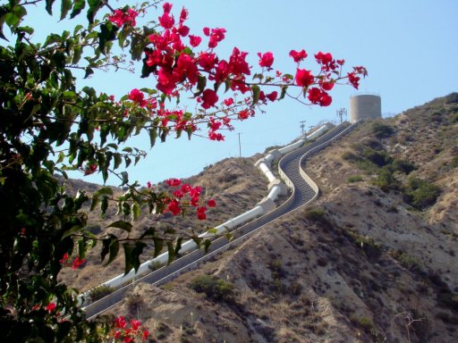
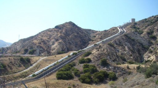
The other area we explored was the Los Angeles Aqueduct Cascades which is about 30 miles northwest of downtown Los Angeles. This is at Sylmar which is about the northern most town of the L.A. area. This hike started from a housing subdivision and went through a never completed golf course. Along the way there were some good views of the aqueduct and the water cascade.
This structure is part of the greater California Aqueduct which conveys water collected from the Sierra Nevada Mountains and valleys of Northern and Central California to Southern California. The water’s 400 mile journey to Los Angeles can take as long as 3 months.
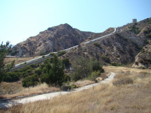
The first aqueduct project was started in 1908 and completed in 1913. A little of this aqueduct is seen as the pipe coming out of the hill in the left center of the picture. The second aqueduct project was constructed in the 1960s with its water cascade.
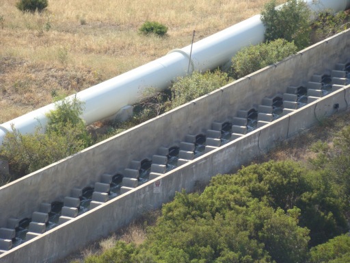
This hike was during a dryer period and there was just a small amount of water flowing as seen in this closer view. The staircase of concrete blocks is meant to slow the pace of the water as it rushes downhill.
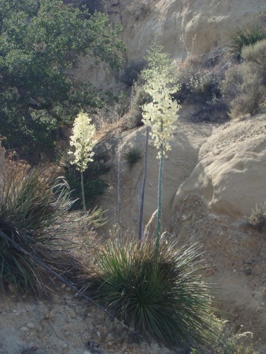
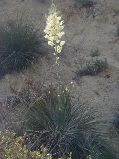
The hike was at the time of year when the yucca plants were blooming.
More Information:
County of Los Angeles Whittier Narrows information
Whittier Narrows Wikipedia page
Los Angeles Aqueduct Wikipedia page
Construction of the Los Angeles Aqueduct by the Los Angeles Water and Power Associates
Since the map plugin only allows one link per map this is a link to the google map of the Los Angeles Aqueduct Cascades
