Death Valley Badlands
Wind and rain can be powerful forces of nature and over time can leave interesting patterns and beautiful colors. During a trip to Death Valley we visited several places which showed different results of erosion each picturesque in their own way.
Zabriskie Point
This area was named after Christian Brevoort Zabriskie who was hired in 1885 to supervise several hundred Chinese borax mining laborers. He eventually became vice-president and general manager of the Pacific Coast Borax Company. Between 1883 and 1889 borax was transported from its mining operations in Death Valley using twenty-mule teams.
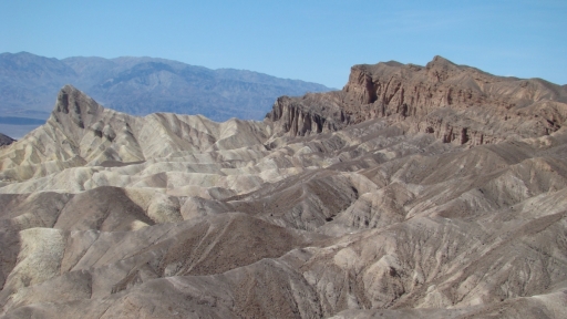
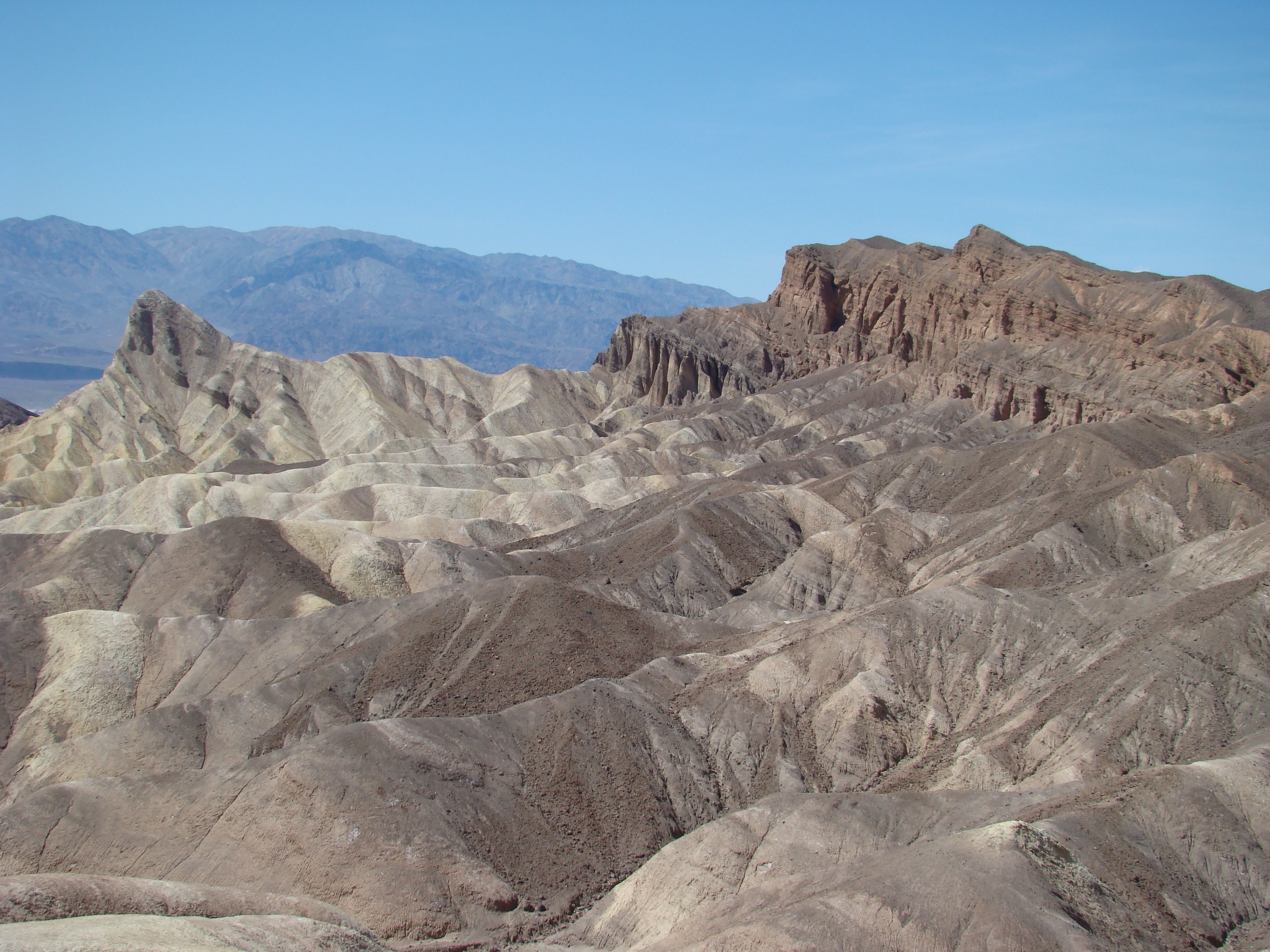
The rock outcrop is Manly Beacon named after William L. Manly, one of the guides during the gold rush of 1849. The dark-colored material capping the ridges is lava from eruptions that occurred three to five million years ago. This cap slowed erosion and might explain why these outcrops are much higher than other areas.
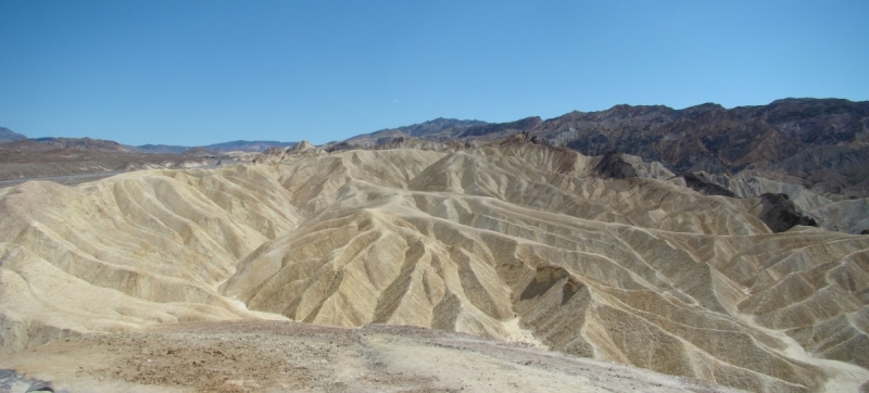
In prehistoric times there was a lake at Zabriskie Point where sediments of silt and clay from nearby mountains were deposited. This sediment was compressed to form the soft rock called mudstone. The lake eventually dried up and over time scant but powerful downpours caused erosion. The gorges develop because of the many different materials in the ground with different strengths, some which wash away easily while the more solid materials stay and result in the formation of the badlands. The picture is a panorama I created from two snapshots.
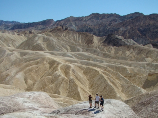
Here several explorers of our group are attempting to show the expanse of the area. I am not sure how well they do that but they do give an indication of the scale of the ridges in the background.
Artist’s Palette
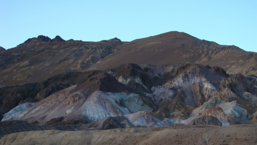
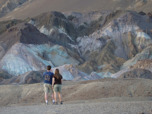
The Artist’s Palette is one of the more colorful areas in Death Valley. Aprons of pink, green, purple, brown, and black rock debris drape across the mountain front. Weathering and oxidation of different materials are responsible for the variety of colors.
Once again the scale of the mountains are indicated by the presence of two of our group’s explorers as they attempt to capture the mountain’s beauty on their cameras.
Stovepipe Wells Sand Dune Field
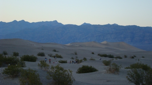
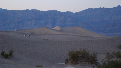
The largest sand dune field in Death Valley is near Stovepipe Wells. It is also called the Death Valley dune field and Mesquite Dune. The dunes are estimated to be only about 2,000 years old. High in the surrounding mountains rocks are carried by flash floods. As the rocks make their way to the valley floor tumbling action breaks and grinds them until they become sand-sized grains. The prevailing dune-shaping winds come from the north though the local wind patterns cause both eroding and depositing of the sand within a very short distance. The maximum height of the dunes is about 180 feet.
These pictures were taken after sunset.
More Information:
Digital Desert – Death Valley geological and other information
Ren Mar Photography – blog post on the Geological Features of Death Valley National Park
Wikipedia – article on Zabriskie Point
