Reddish Knob – What’s around the next bend in the road?
Last November during a visit to Bridgewater, Virginia, we decided to take a “drive in the countryside.” Our destination was a favorite picnic and camping spot in the mountains. Well, the scenery had changed due to flooding several years ago and we missed the turn-off. We began to wind up a mountain road. Just a little further, what’s behind the next bend in the road? Here we’re close to the top of the world.

We discovered that the road took us to Reddish Knob – the highest peak in northern Virginia of the Shenandoah Mountain, rising 4,397 feet (1,340 m). This used to be a fire tower. I remember visiting as a young child. No seat belts in those days and a gravel road. Hang on. It is also the headwaters of North River which eventually flows into the Shenandoah River and Potomac River.

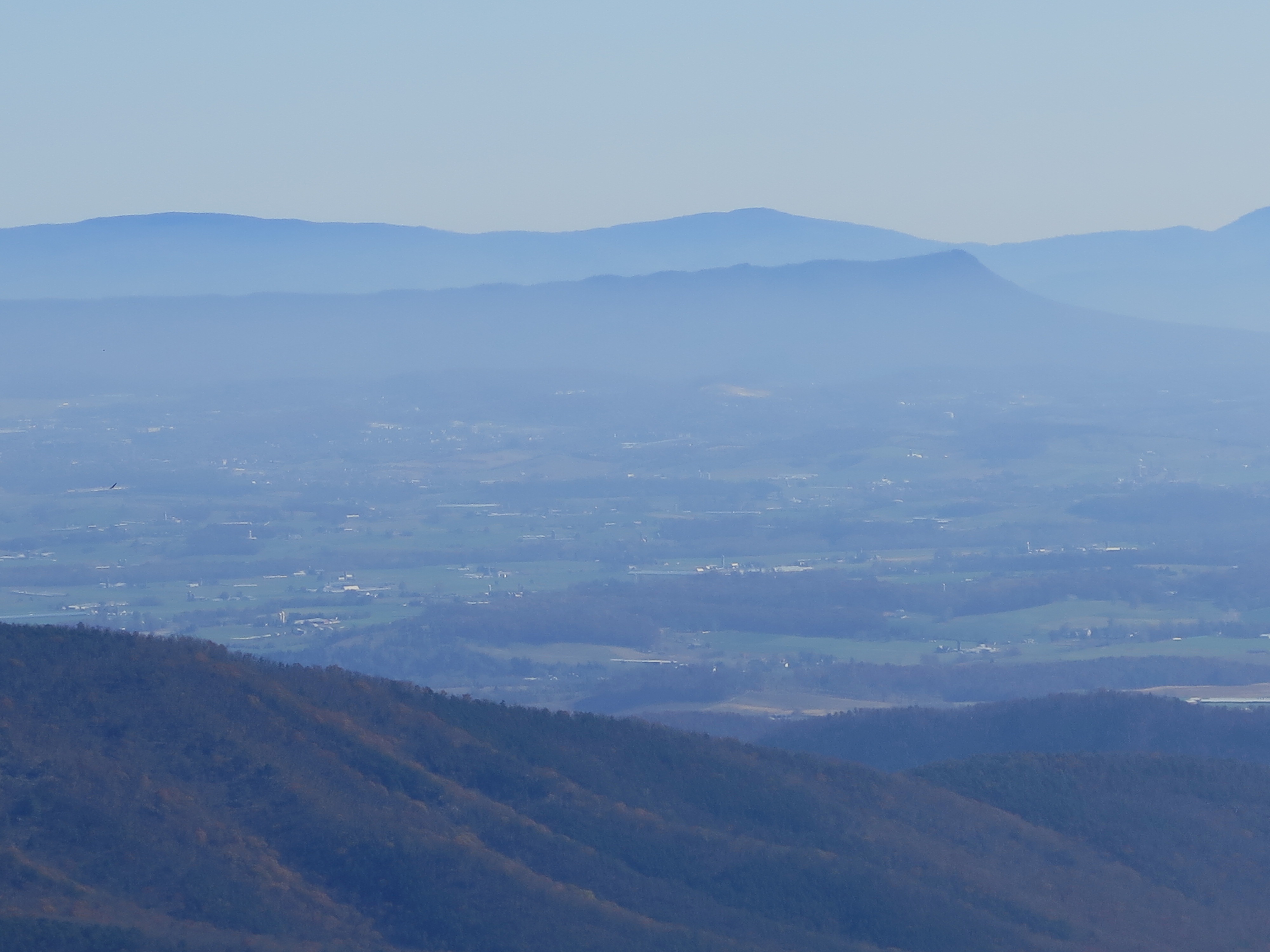
The crest follows the boundary between Pendleton County in West Virginia and to the east of Augusta County, Virginia. It is located in George Washington National Forest. Below is West Virginia as we looked west.

And to the east was Virginia. Here’s Massanutten Mountain.

The trees had been cut down all around the peak. In fact you can see in 360 degrees. Here’s the view to the south.

And another view to the south.

And looking towards West Virginia.

And so we really didn’t know what was around the next bend.

It was an interesting drive “through the countryside.” The drive was not long; on a curvy narrow road up the mountain, in less than half an hour, we were felt like we were on top of the world looking down.

For More Information:
Reddish Knob Wikipedia article